Luandro shares his diary of the work he’s leading with the Tenetehara people in the Arariboia territory. Now the Mapeo workshop goes to the largerst village in the territory, as a part of the Pollinating Regeneration.
This text was previously share via Scuttlebut.
Author: Luandro
Leia em português.
First part of the series.
Here it continues.
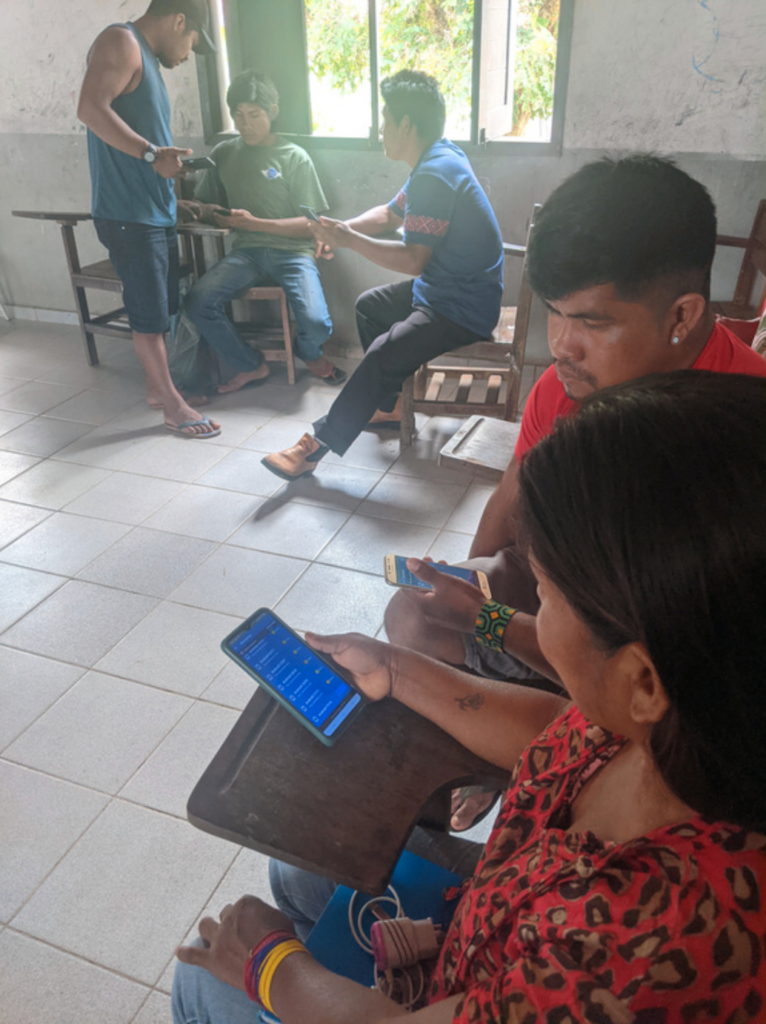
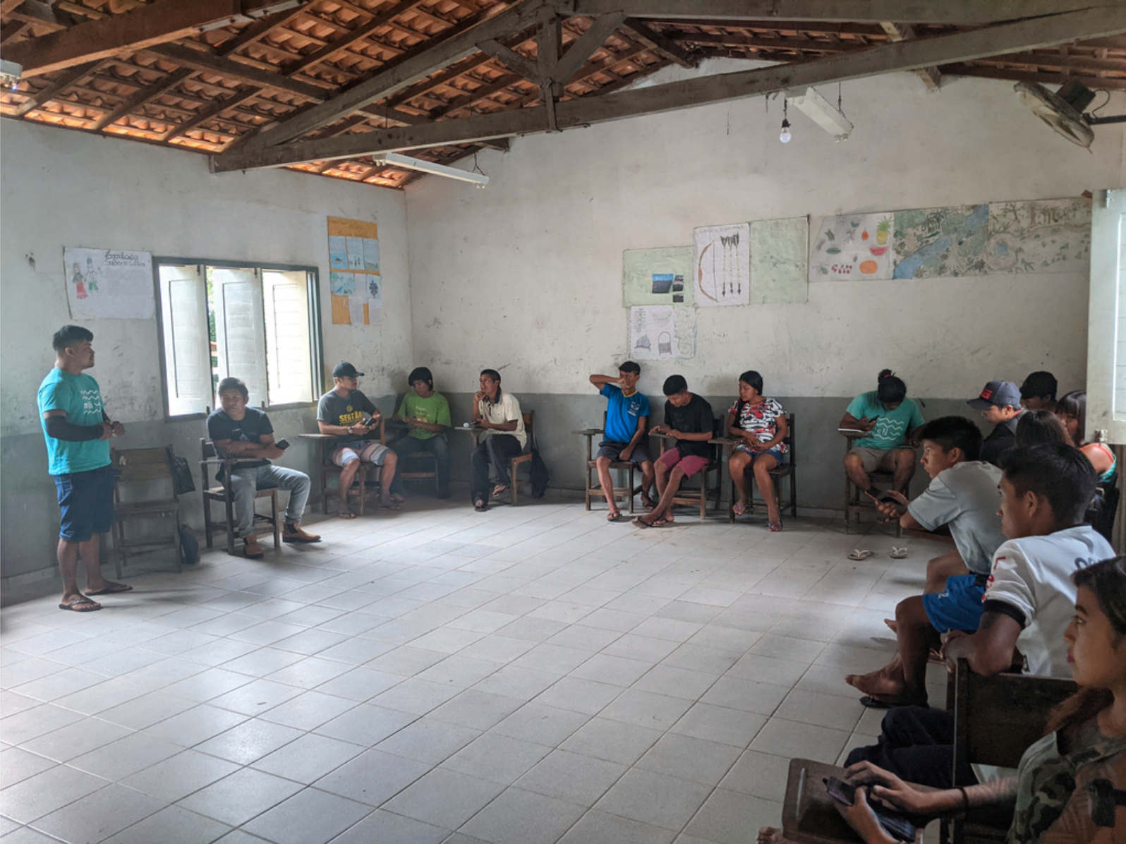
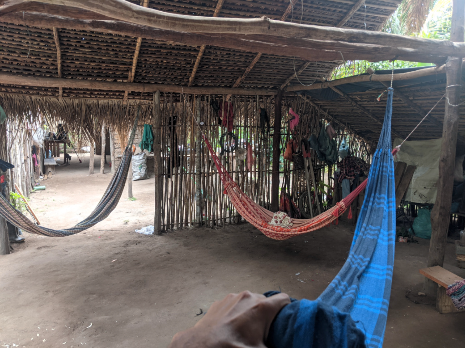
In February 2023, Digital Democracy and Meli (through the Pollinating Regeneration program) organized a third Mapeo training course at the Arariboia Indigenous Territory, in the largest village of the territory, the Zutiwa village. Despite the challenging journey along a rough dirt road that took approximately 2 hours to reach the village, Jonas, Jó, and I led a three-day course, empowering participants with participatory mapping skills and some deeper knowledge around technology and the political aspects of data.
Despite being remote from urban centers, the village’s strategic position, with many neighboring villages, made it easier for more participants to attend the workshop. This enabled the event to be by far the most successful workshop in terms of participation, given the challenge of traveling around such a large territory that we faced in the previous workshops. Over 20 younger and older men and women from Zutiwa as well as other nearby villages attended.
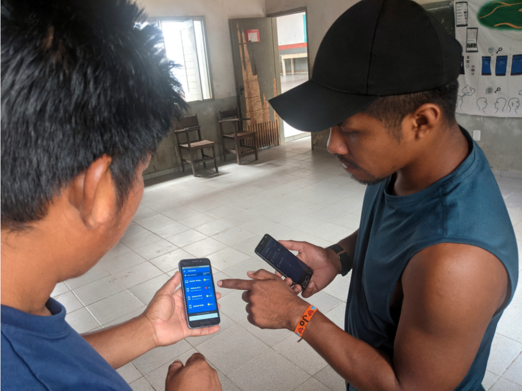
Despite limited internet access, participants embraced the Mapeo app as a valuable tool for mapping and exploring their territory, particularly the offline mapping feature. This functionality allowed them to explore their territory and navigate through the jungle even without internet access.
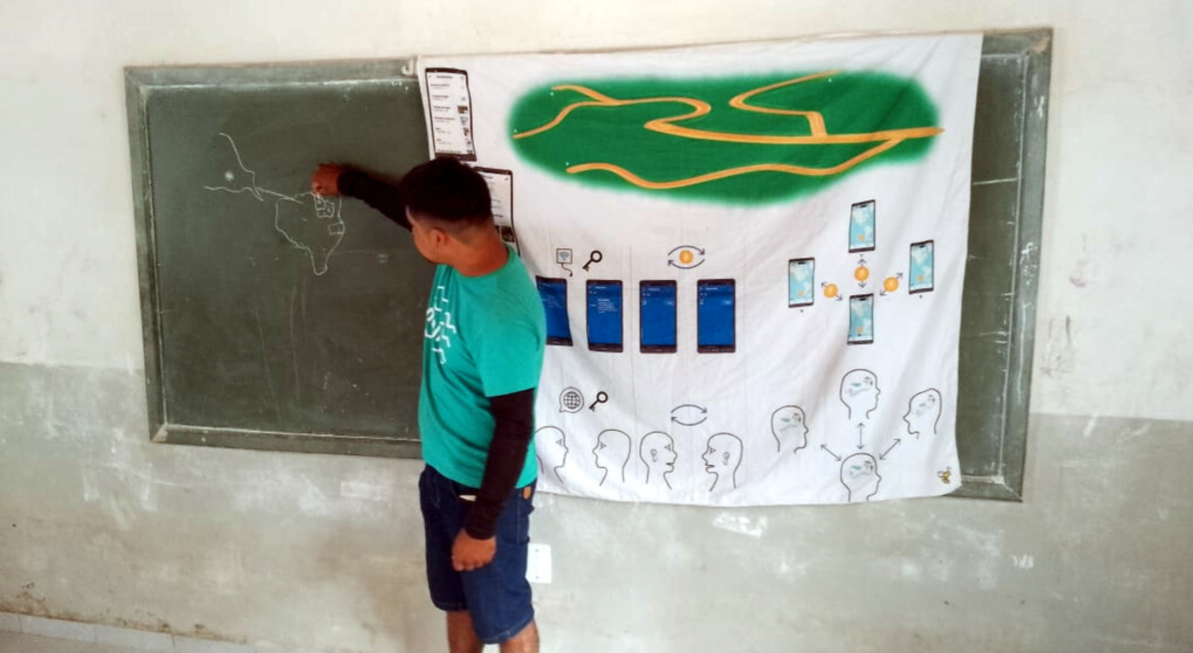
To ensure access to the app and customized resources while offline, I used a false DNS address, mapeo.com to access a local server running on my computer. Participants could connect to the computer’s local-only wifi network and download the latest version of the app, a custom configuration, and the tiles for the background map.
This version included a detailed base map of Arariboia, incorporating input from previous Mapeo workshops. It uses satellite imagery, and for the first time, each participant received these detailed map tiles, which included layers depicting territorial and municipal limits, mining projects, deforestation information, and data from the native-land project. These maps proved invaluable, particularly for those who regularly interact with the forest and explore deeper into the territory.
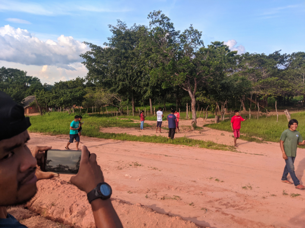
On the final day, we explored the Cerrado, the Brazilian savanna, close to the village to practice our skills using the Mapeo app. The overall feedback from participants was very positive, especially from those whose livelihoods depend on the forest, who are also people with low literacy levels but found the application easy to work with and very useful.
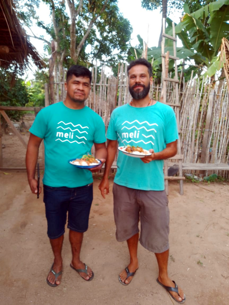
This training course was an integral part of the larger Maeputyr Project, which aims to assist safeguarding the profound connection between indigenous communities and their ancestral lands. The event also served to further bond us with the communities and local leaders, to better understand the local needs and together think on processes that could lead to solutions.
This is a part of a series of reports, you can read the first one here and the next one here.
Your donation can impact the world positively!
Subscribe to receive our Newsletter!
Find us also at Linkedin, Facebook, Twitter
or Instagram
www.meli-bees.org
❤️
2 Replies to “Mapeo Workshop at Zutwia village”